Survey Services for Professionals

Trusted support for development, infrastructure, and design.

J.D. Barnes Limited provides comprehensive surveying services to engineers, planners, architects, developers, and government agencies across Ontario and Quebec. Our experienced Ontario Land Surveyors, project managers, and technical teams deliver accurate, reliable, and efficient data to support every stage of your project—from planning to construction.

20240503 085003

Our Expertise

Legal & Cadastral Surveys

We offer a full suite of legal survey services certified by Ontario Land Surveyors, including:

  • Subdivision Surveys – Draft plan consultation and development based on client goals and municipal criteria, with full coordination for plan registration.
  • Reference, Severance & Condominium Plans – For land division, easements, and multi-unit developments.
  • Boundary & SRPRs – Accurate property boundaries and structure locations for legal, real estate, and development use.

Topographic & Pre-Engineering Surveys

Detailed mapping of terrain, elevations, structures, and surface features using total stations, GPS, and UAVs. Ideal for site design, grading plans, stormwater systems, and zoning submissions.

Geodetic & Engineering Surveys

Precision surveys for infrastructure and construction projects:

  • Control Networks – Horizontal and vertical control frameworks.
  • Construction Layout & As-Built Surveys – Layout and verification of roads, utilities, and buildings.
  • Monitoring – Detect structural movement or ground settlement over time.
  • Alignment Surveys – For critical structures and machinery with high-accuracy requirements.

Subsurface Utility Engineering (SUE)

Through OnSite Locates, we provide complete utility locating and mapping:

  • Level A & B SUE – Test pits, GPR, and electromagnetic locating.
  • GIS & CAD Utility Mapping – Integrated design support and risk mitigation.
drone

Drone & Aerial Surveys

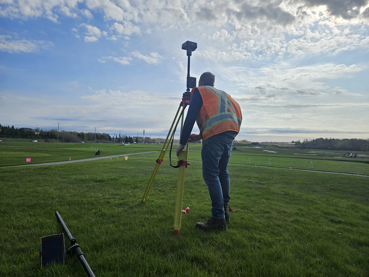
High-resolution mapping and visualization using RTK-enabled drones flown by certified field staff. Services include topographic mapping, orthophotos, and stockpile calculations.

lidar

3D Laser Scanning & Mobile Mapping

Efficient spatial data capture for buildings, infrastructure, and corridors using terrestrial or vehicle-mounted LiDAR—ideal for BIM, clash detection, and digital twins.

satellite

Bathymetric Surveys

Underwater mapping for environmental studies, shoreline design, and infrastructure planning using sonar and GNSS equipment.