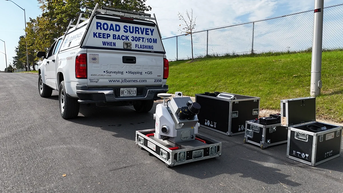
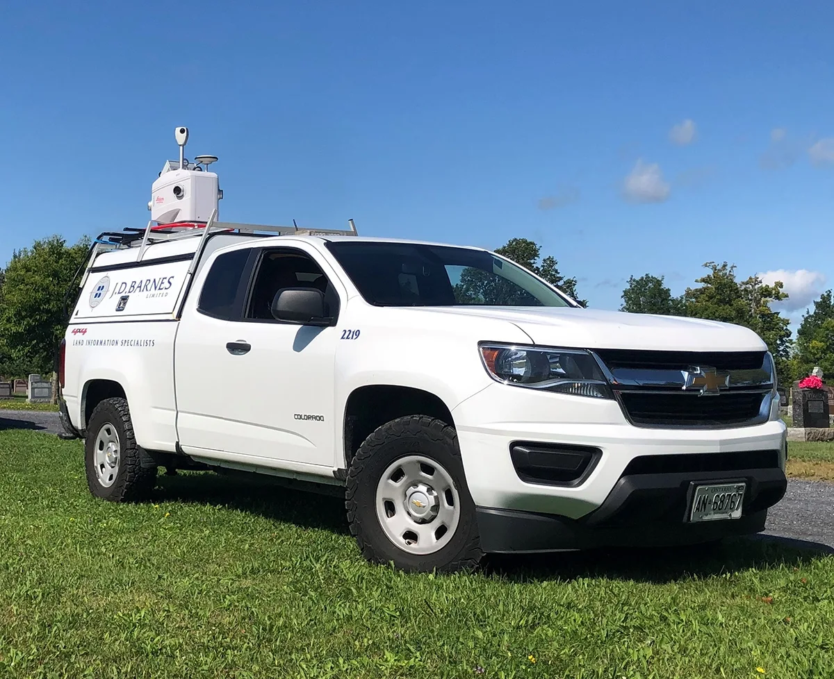
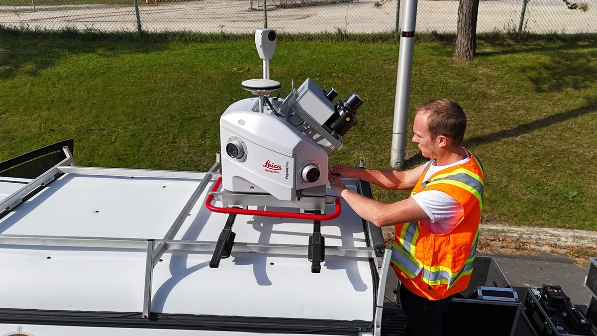
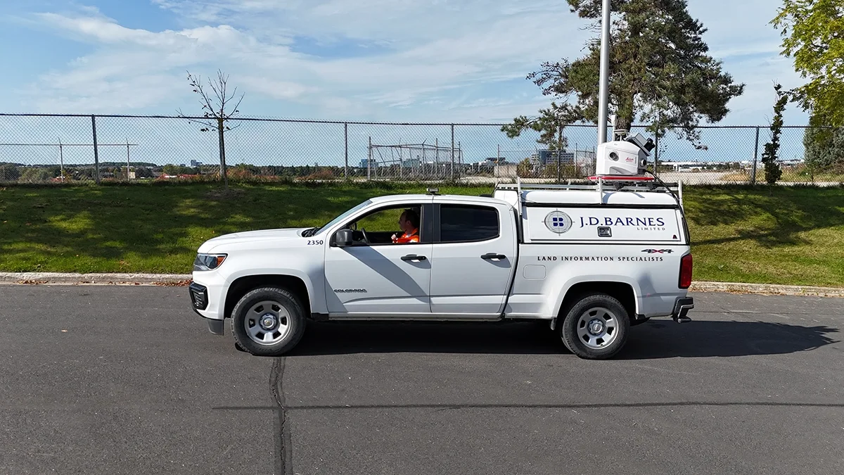
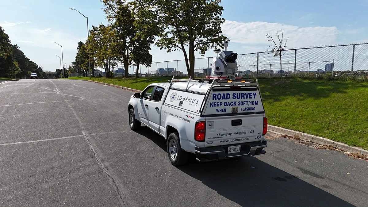
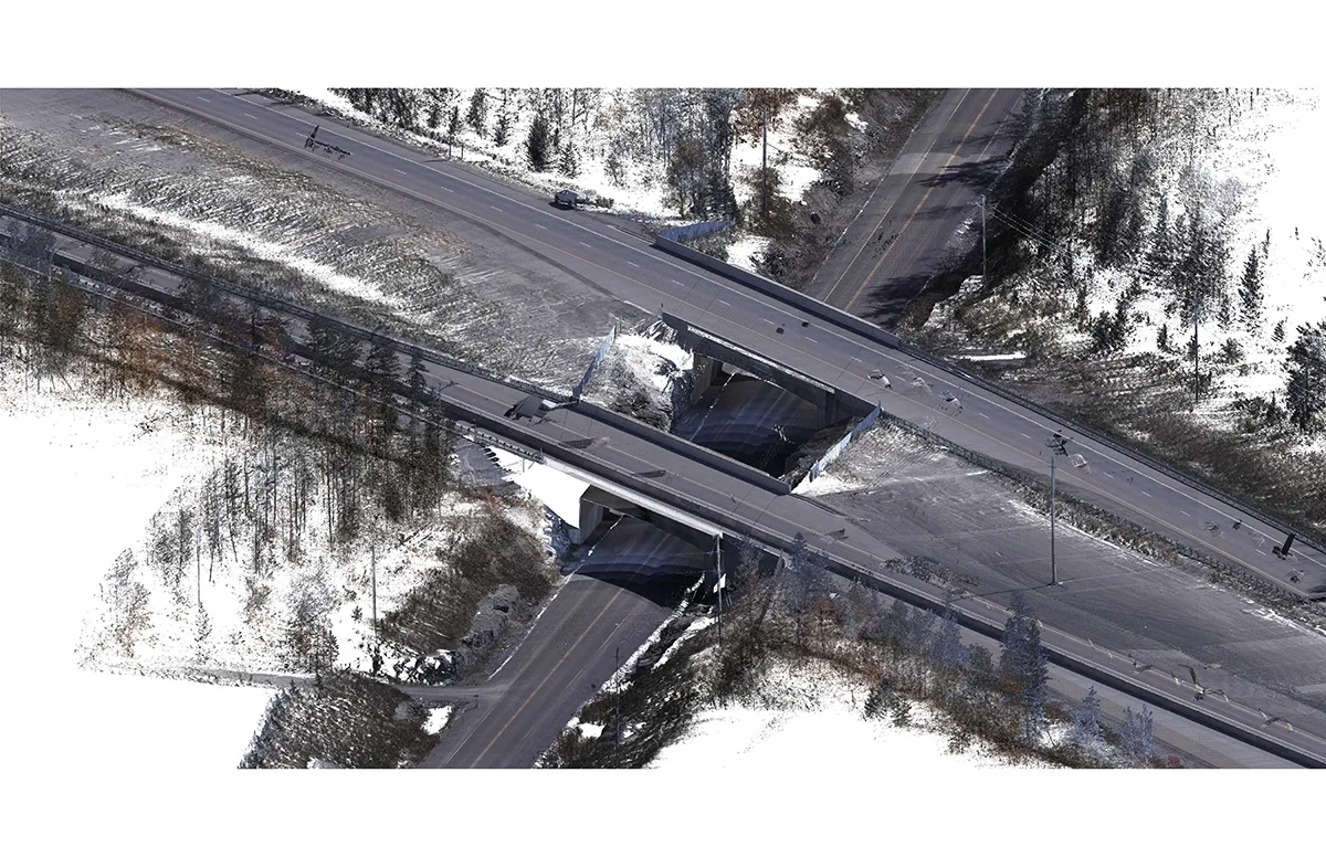
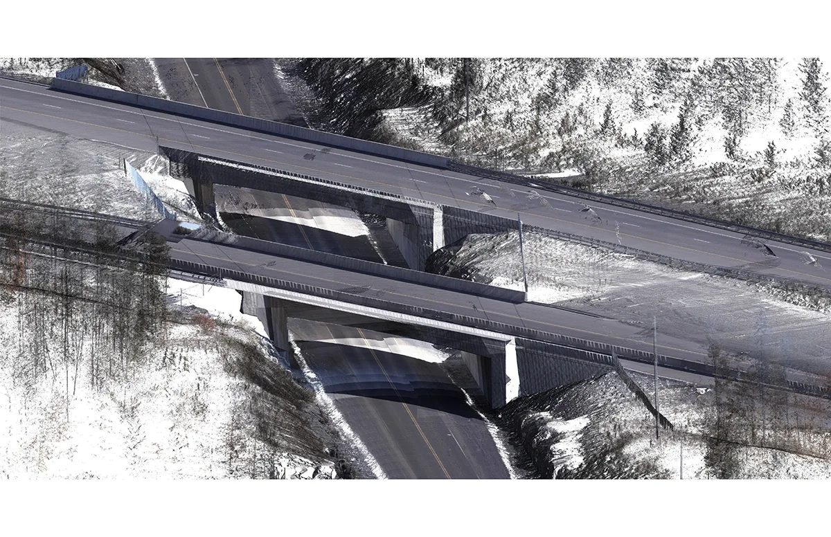
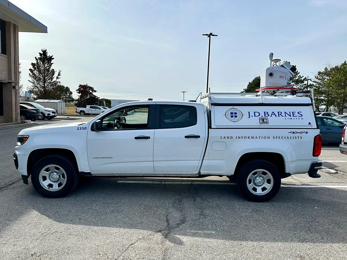
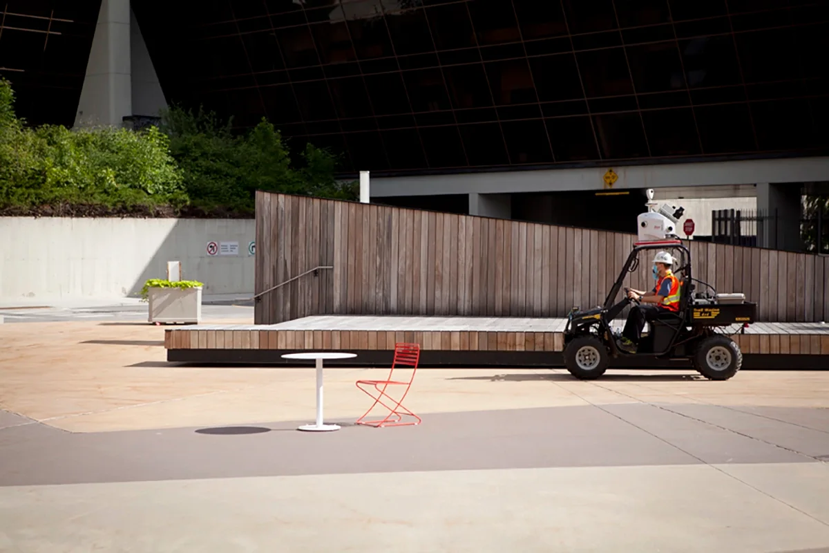
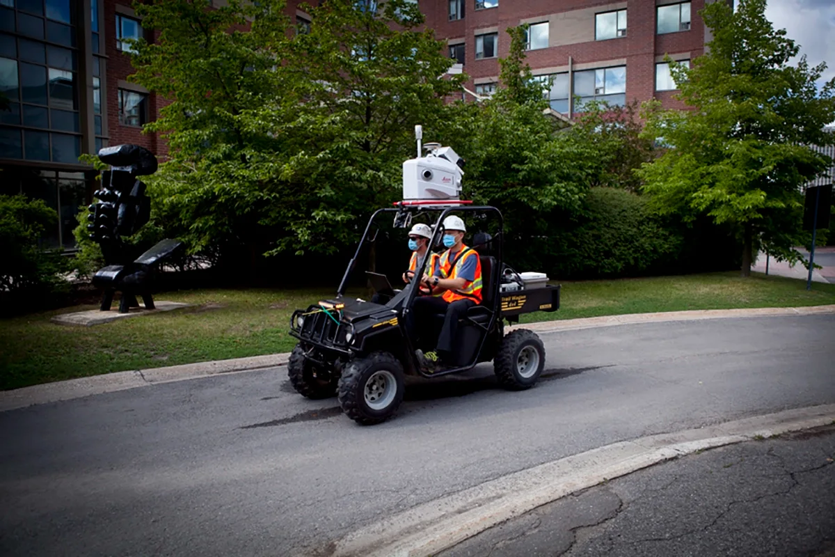
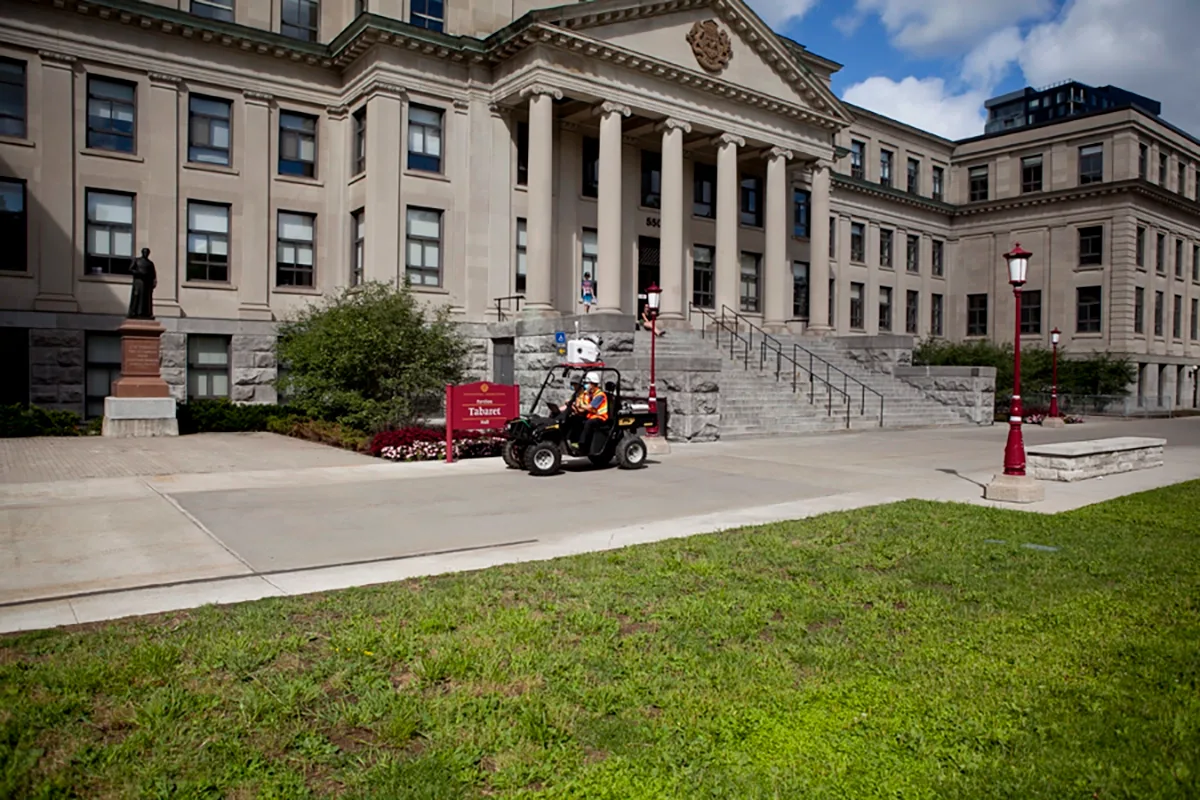
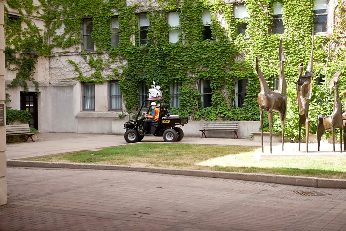
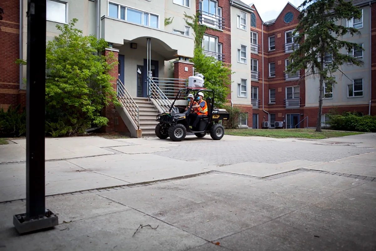
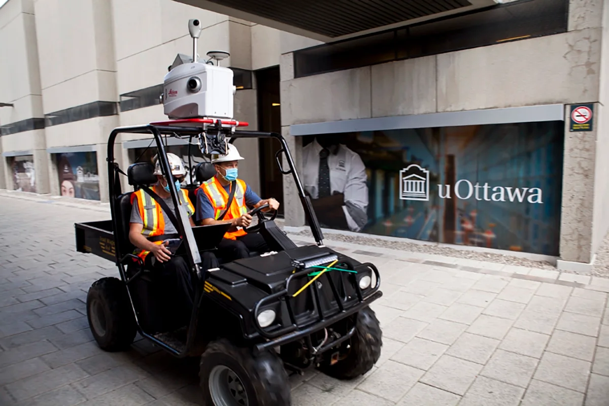
J.D. Barnes Limited offers Mobile LiDAR services using our Leica Pegasus: Two Ultimate system — delivering high-resolution 3D point clouds and imagery at highway speeds. This advanced technology combines LiDAR with GPS, IMU, and DMI sensors to produce survey-grade data that’s ideal for infrastructure planning, design, and asset management.
Key benefits:
High Efficiency– Rapid data collection over large areas
Survey-Grade Accuracy– Trusted for engineering and design
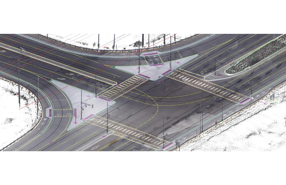
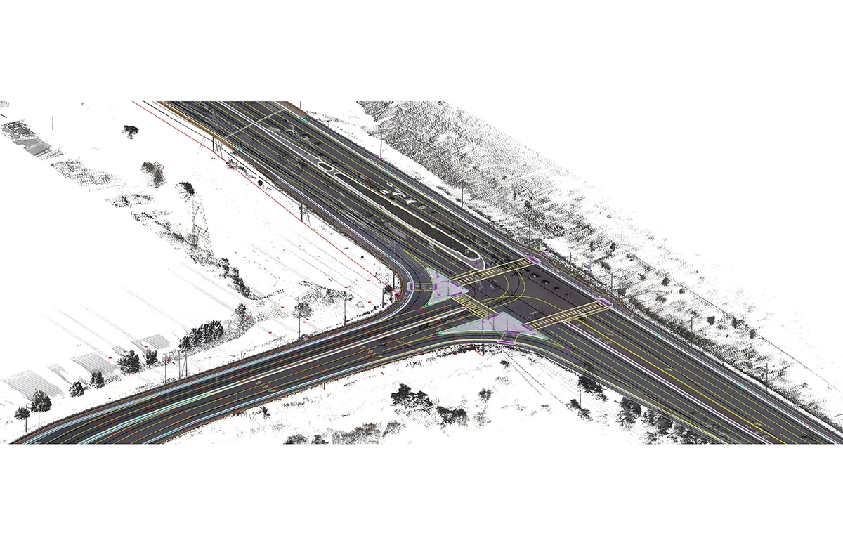
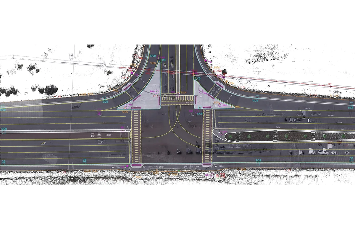
Colorized Point Clouds– Enhanced visualization and interpretation
Safe & Versatile Deployment– Perfect for roads, campuses, airfields, and more
We’ve mapped thousands of kilometers of highways, urban roads, airports, and institutions across Ontario — including work for MTO, Metrolinx, major airports, municipalities, and defence facilities.