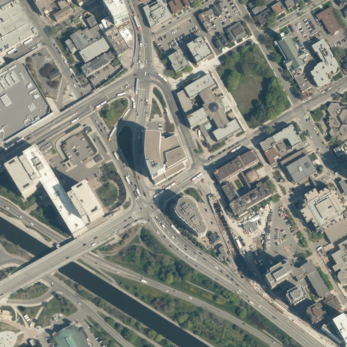
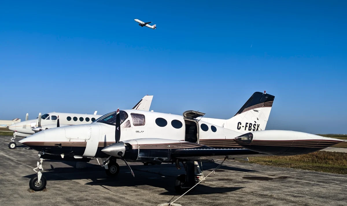
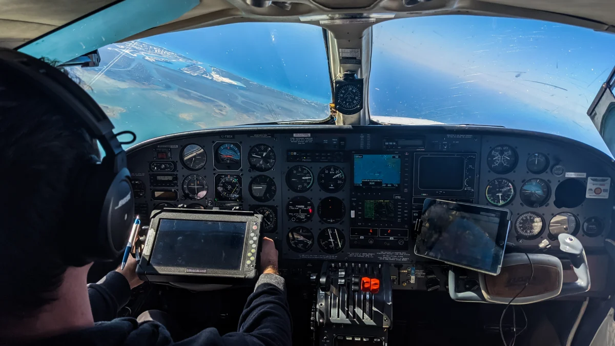
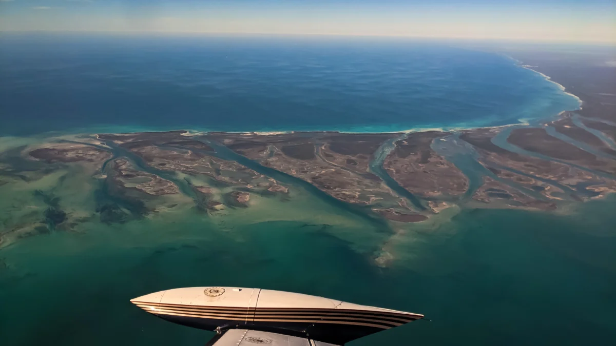
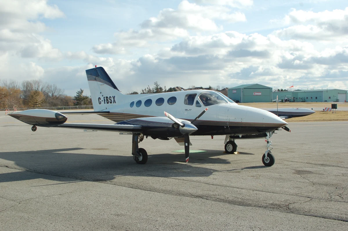
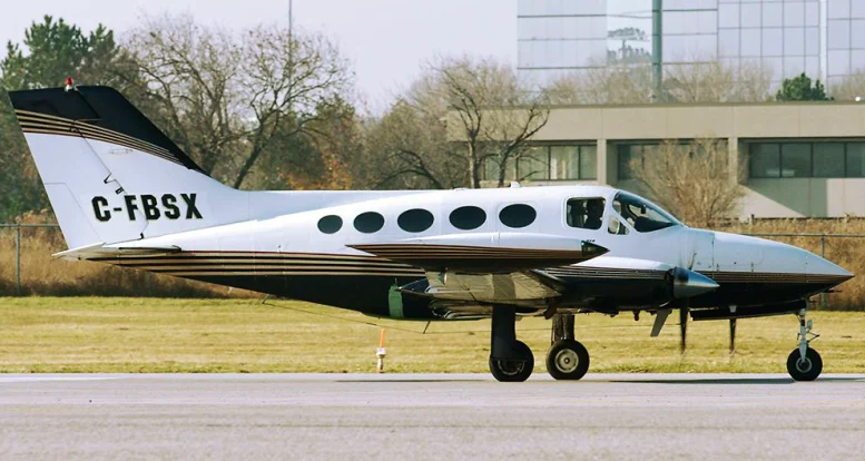
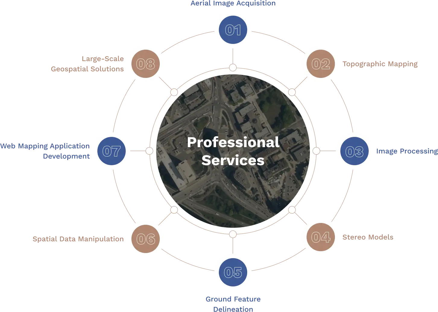
First Base Solutions, a wholly-owned subsidiary of J.D. Barnes Limited, provides technology to meet the growing demand for geospatial data. We recognize your need for aerial imagery with faster turnaround, higher resolution, quality and better accuracy. Our 14 aircraft fly on demand to acquire imagery of specific sites at resolutions to meet your accuracy requirements. Product delivery can be provided within days and additional mapping can be undertaken to extract features and ground and surface elevations from the controlled stereo model datasets.
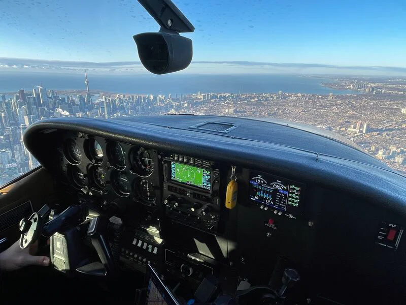
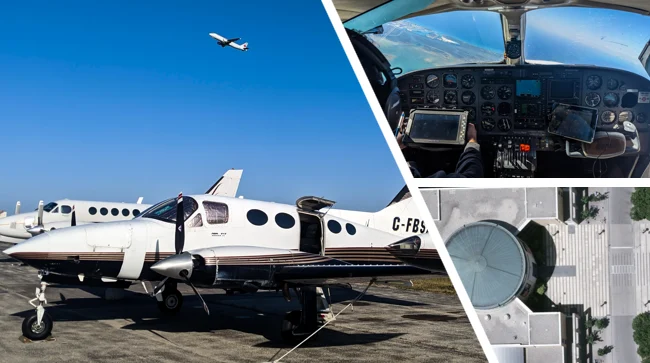
We capture high-resolution aerial imagery using fixed-wing aircraft, UAVs, and satellite-based platforms, tailored to your project's geographic and technical requirements.
Orthophotography
We deliver orthorectified imagery with uniform scale and spatial accuracy, ideal for integration into GIS systems, CAD platforms, and detailed engineering workflows.
LiDAR Mapping
High-density point cloud data is collected using airborne LiDAR systems, enabling accurate terrain modeling and feature extraction—even through dense vegetation.
Surface Modeling
Our Digital Terrain Models (DTM) and Digital Surface Models (DSM) provide detailed elevation data for analysis in engineering, environmental, and planning applications.
Planimetric Mapping
We extract and map detailed ground features such as roads, curbs, utilities, buildings, and vegetation in 2D or 3D to support design and asset management.
Contours
From LiDAR or stereo imagery, we generate contour lines to illustrate terrain shape and elevation, supporting drainage studies, grading design, and environmental assessments.
3D Mesh and Visualization
We create textured 3D mesh models by combining imagery with elevation data, ideal for city modeling, site visualization, and simulation environments.
Historical Mapping
We process archived aerial imagery using modern techniques to produce georeferenced maps, supporting historical land use analysis and change detection.