Bathymetry is the study of underwater terrain—essentially topographic mapping beneath the water’s surface. This data is essential for infrastructure planning, environmental assessments, and resource management in both urban and remote areas.
J.D. Barnes Limited provides bathymetric surveying services for small to medium-sized water bodies using a highly portable, IHO-compliant system that integrates Real-Time Kinematic GPS (RTK-GPS) with a survey-grade echo sounder. This modern setup supports precise data collection in coastal and inshore environments to depths of up to 750 metres.
Depth Resolution: 0.01 m (<100 m depth), 0.1 m (>100 m depth)
Depth Accuracy: ±2.5 cm (0–40 m), ±5.0 cm (40–200 m), ±10.0 cm (>200 m)
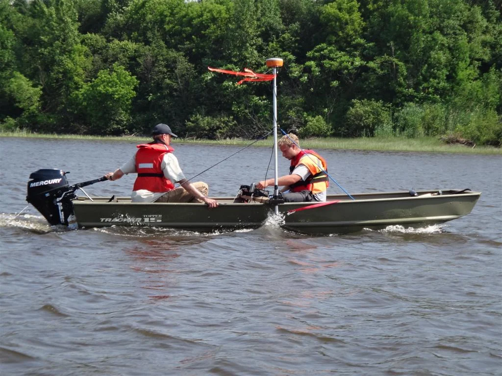
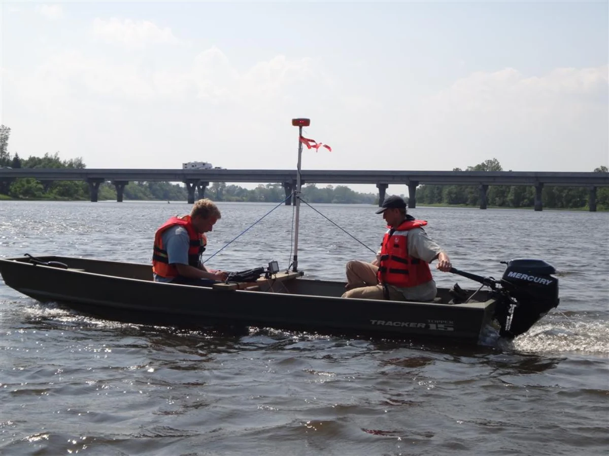
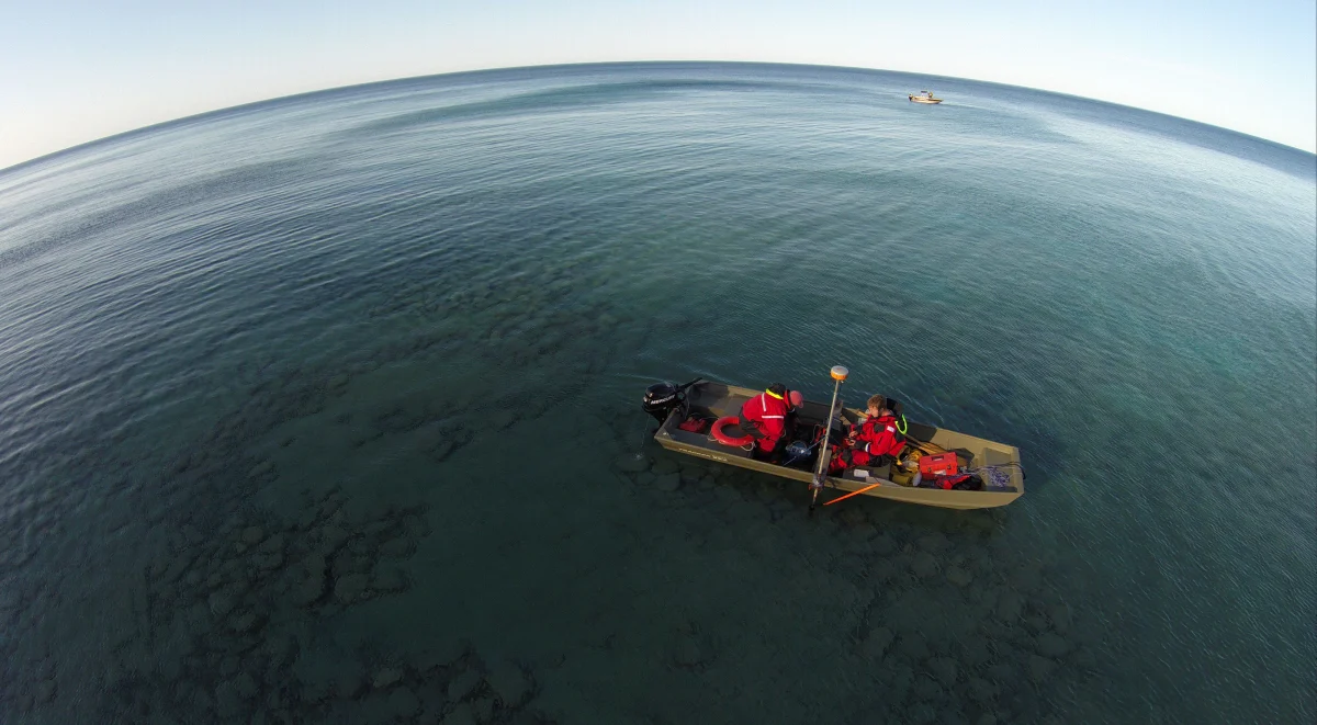
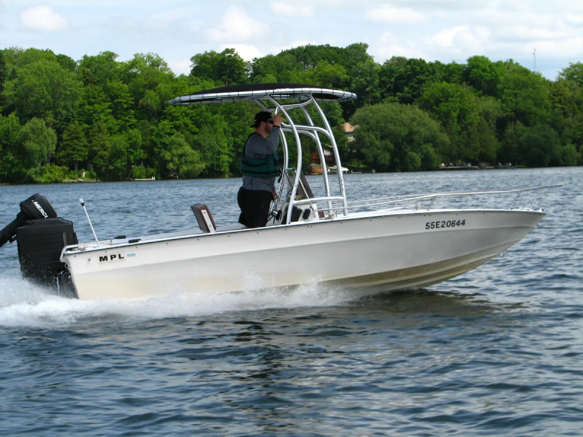
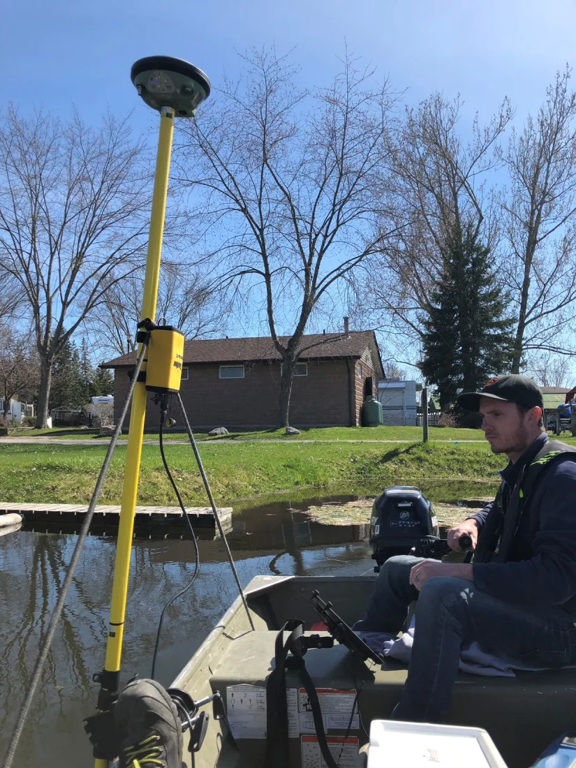
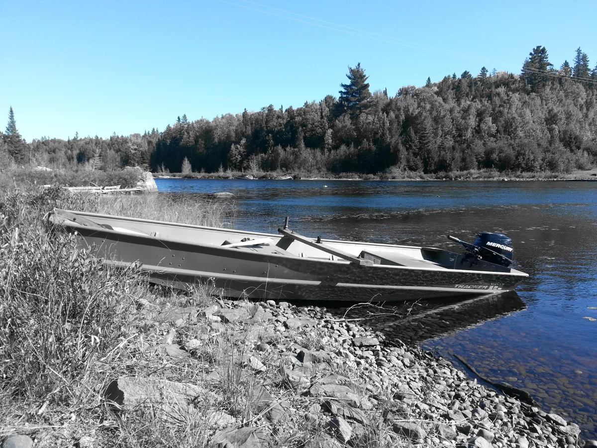
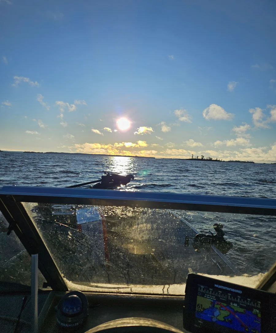
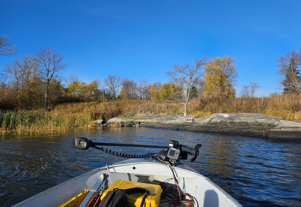
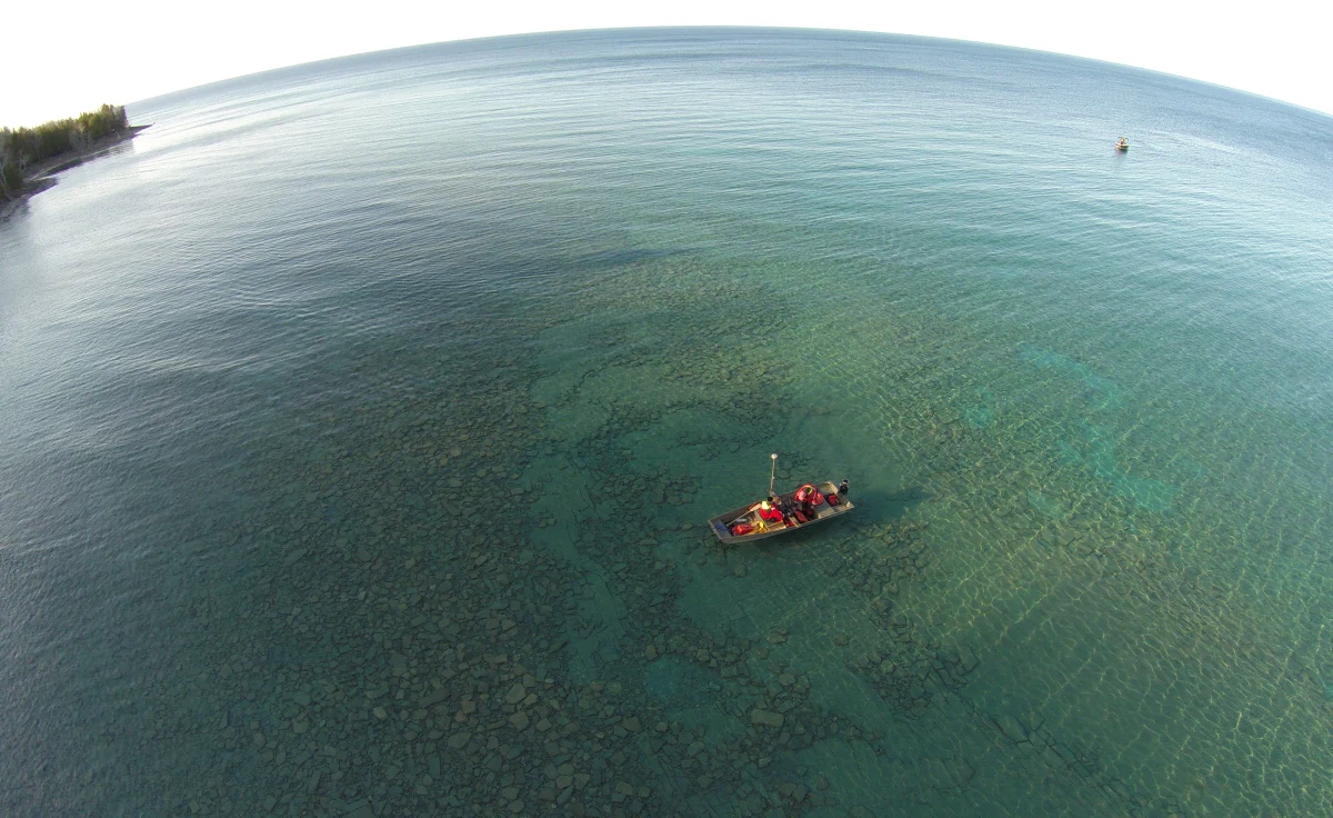
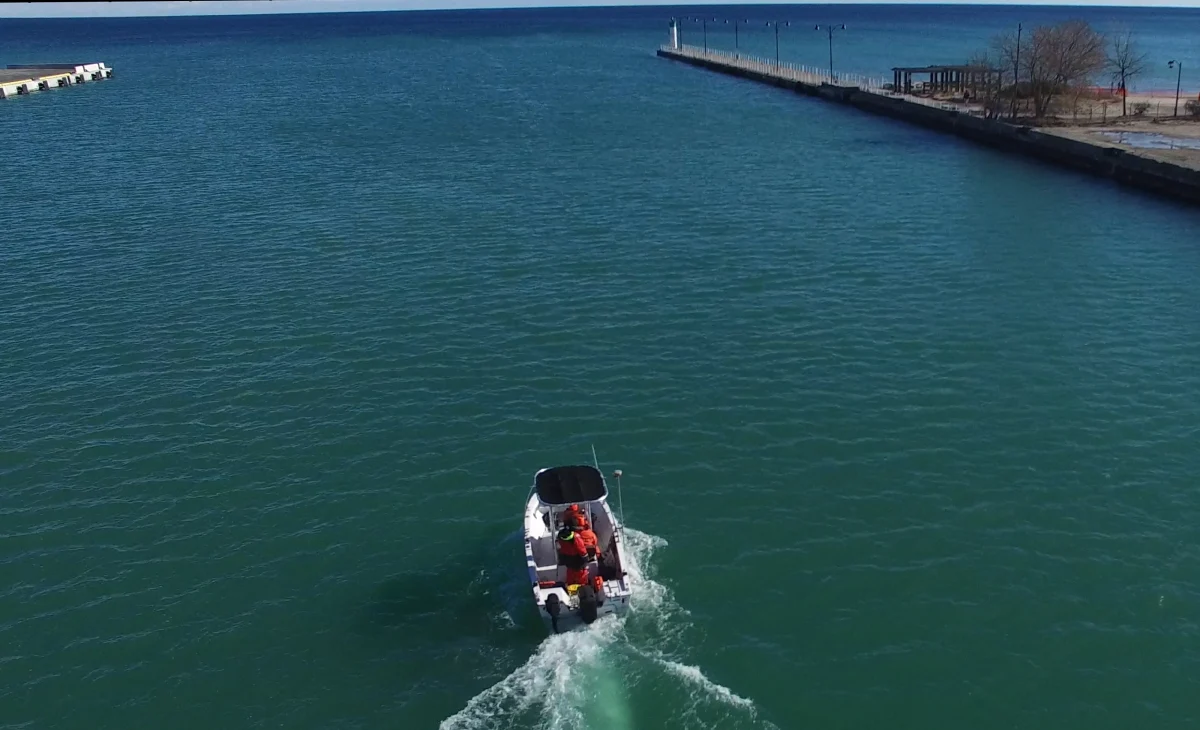
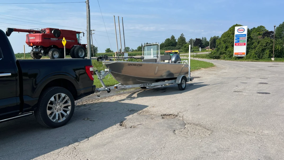
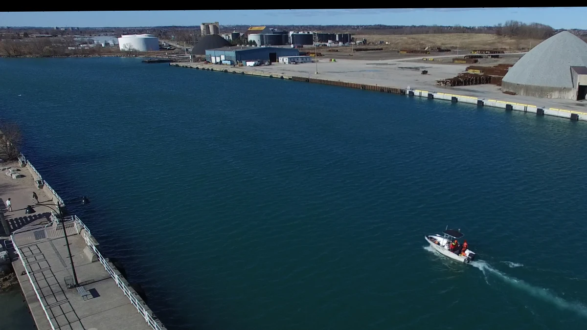
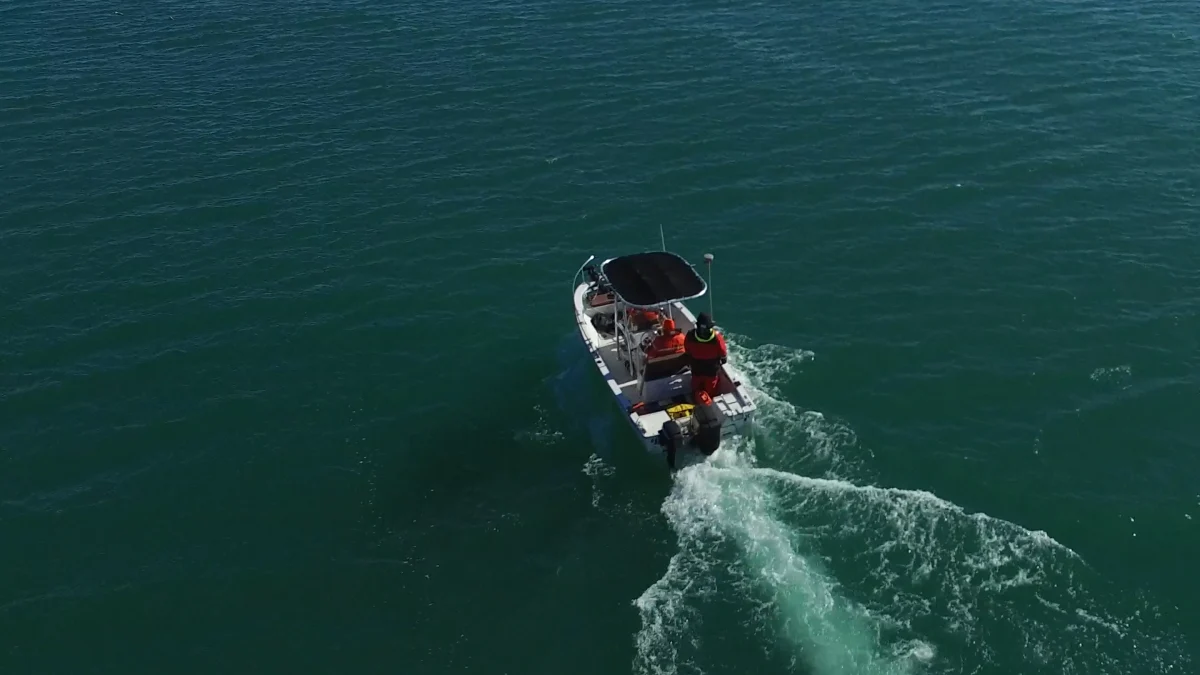
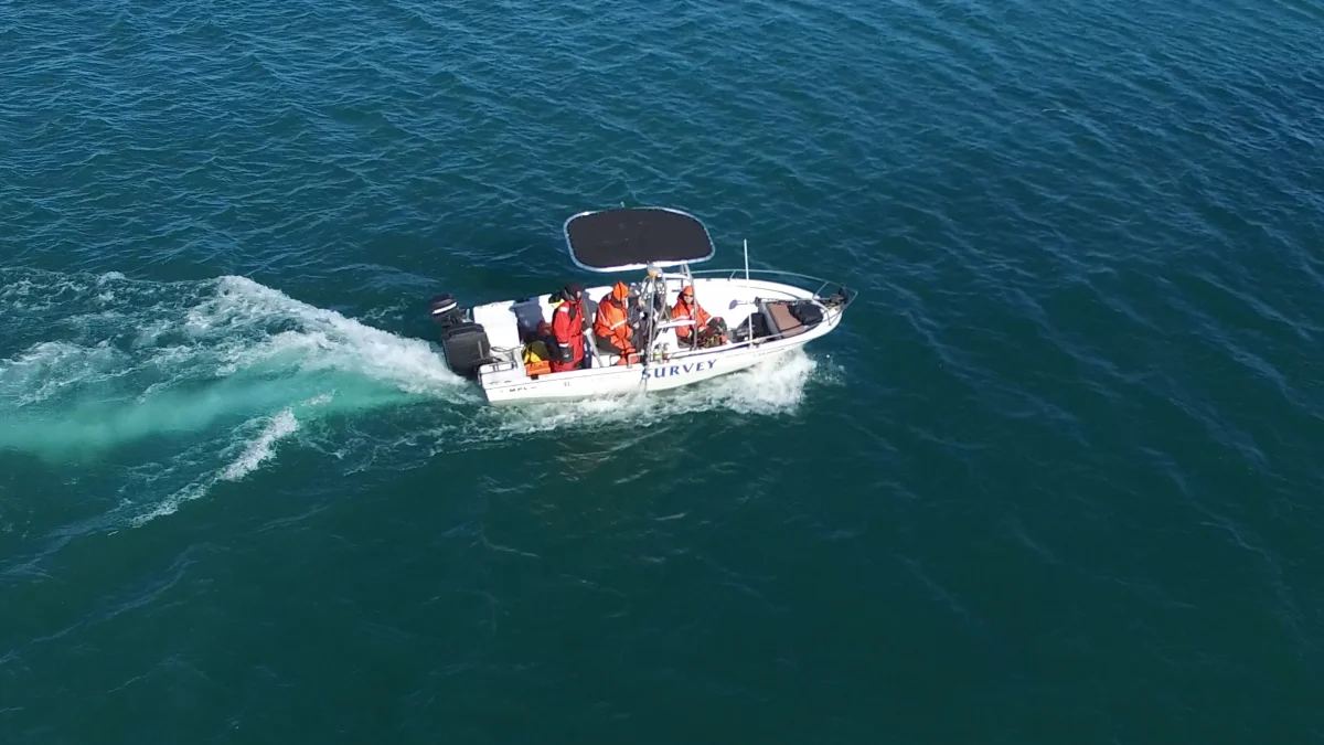
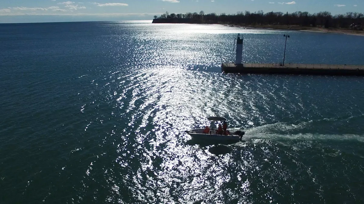
The system is easily deployable on a variety of watercraft, including our own fleet of commercially certified vessels. All operators are licensed and trained, holding SVOP, MED A3, and ROC-M certifications, and follow strict safety protocols in compliance with Transport Canada regulations.
In addition to bathymetric mapping, J.D. Barnes Limited offers underwater pipe locating services to depths of up to 25 meters.
J.D. Barnes Limited brings decades of experience to each project, with a focus on quality, regulatory compliance, and responsive deployment across Canada. We’re proud to help clients make informed decisions with high-quality underwater data.