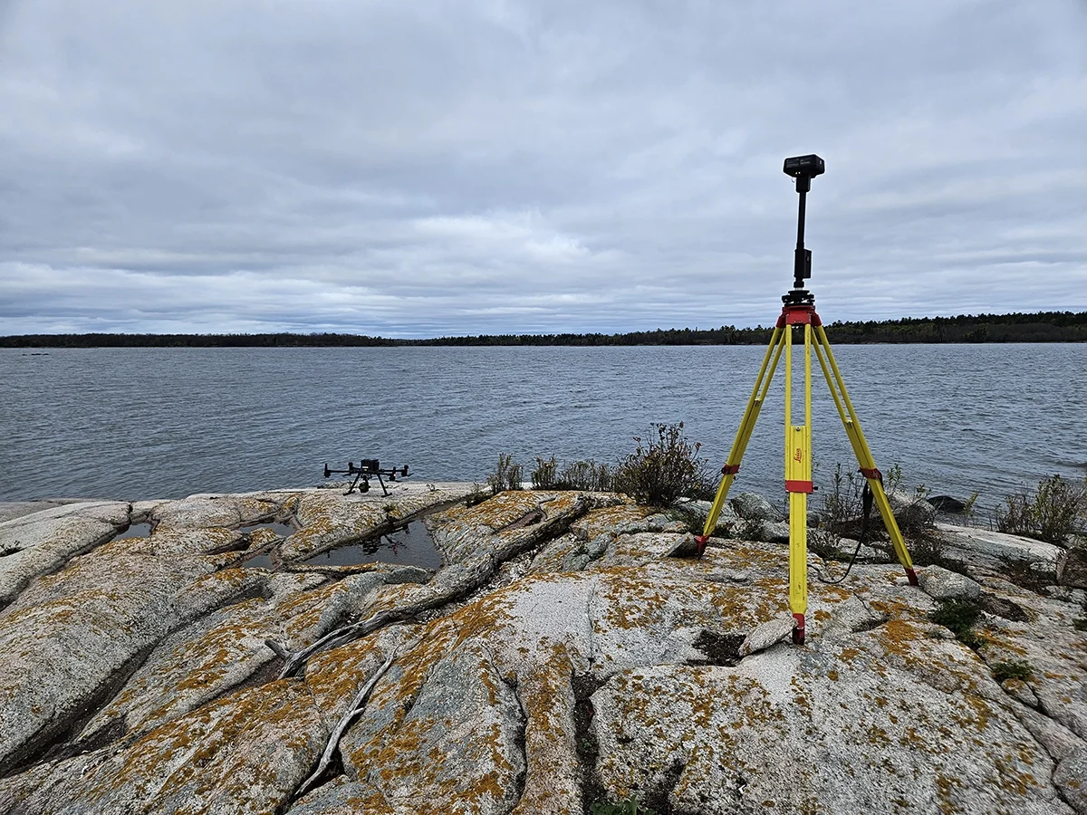
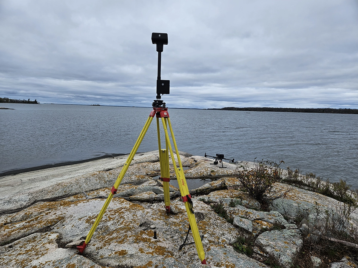
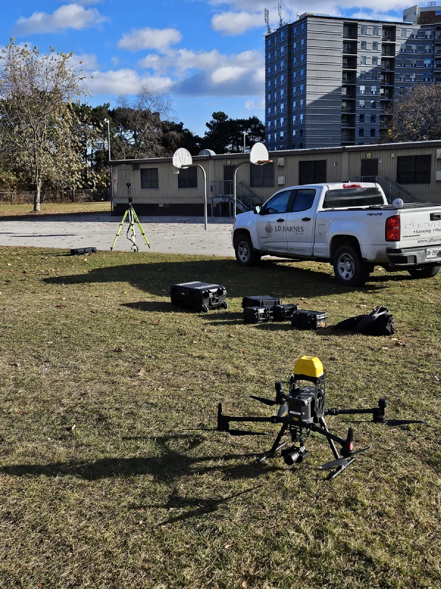
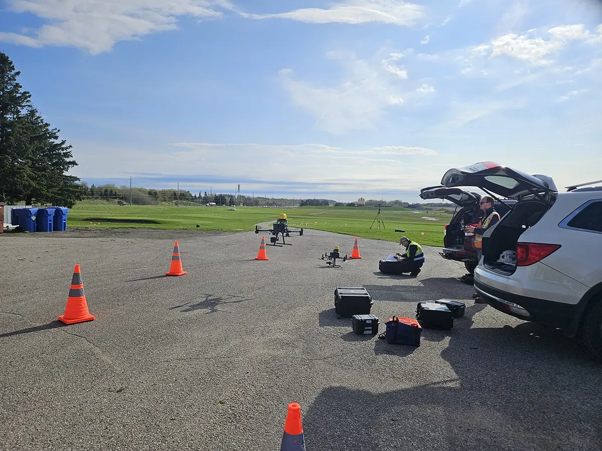
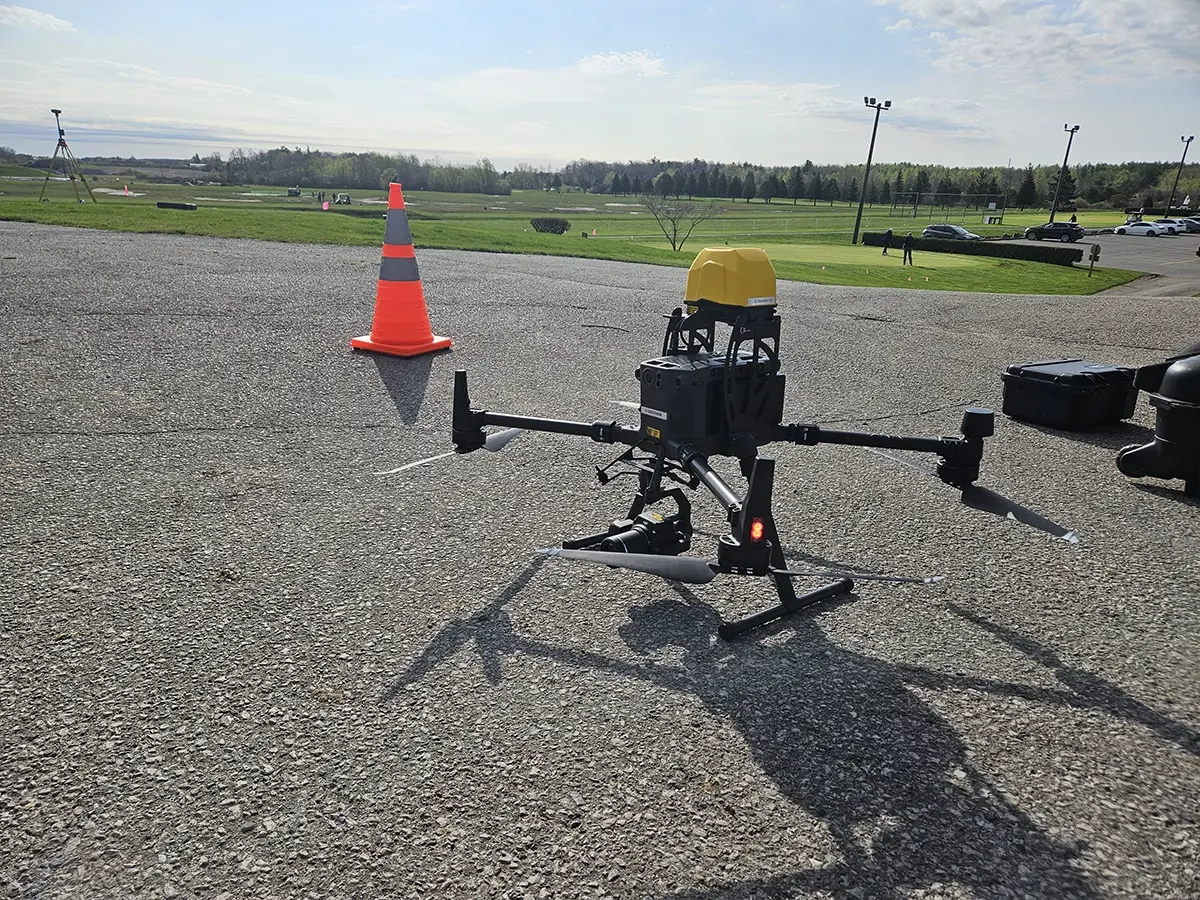
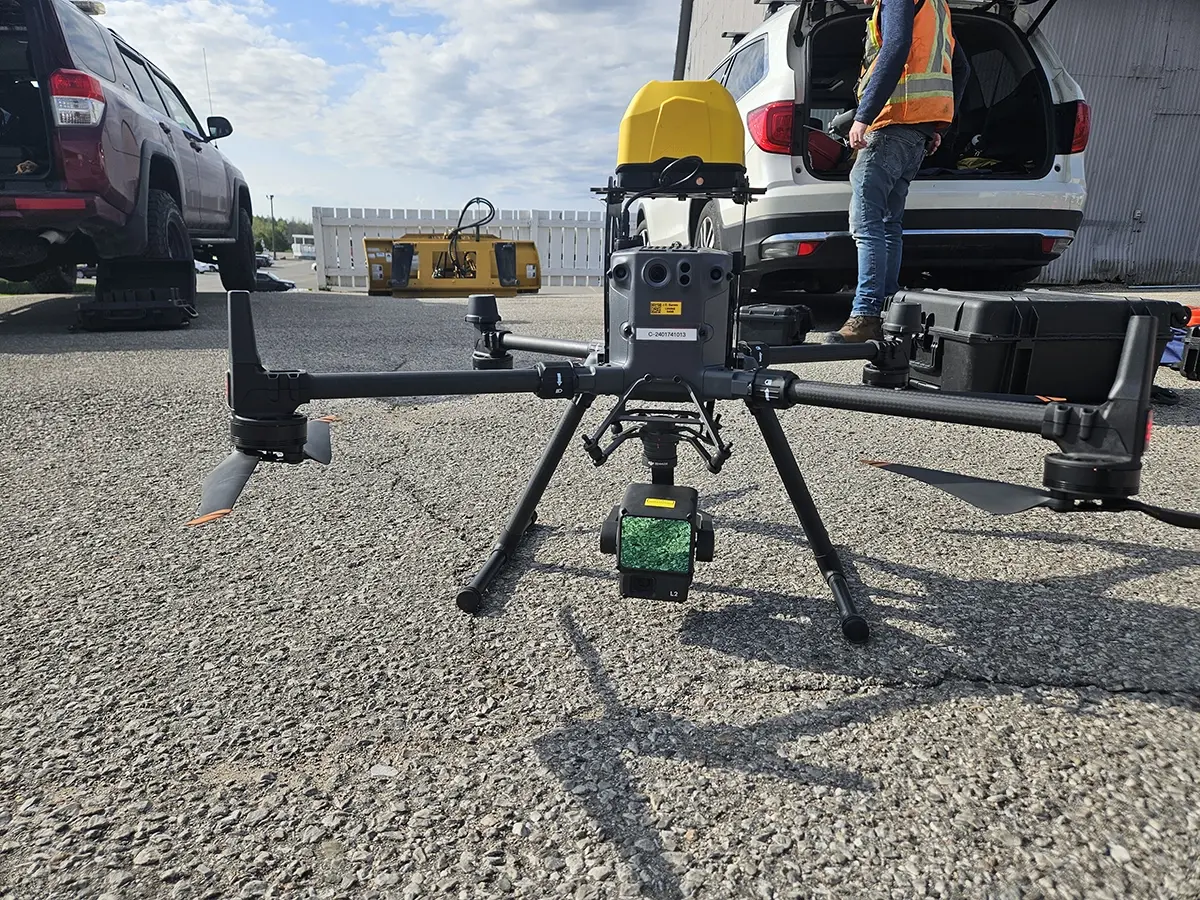
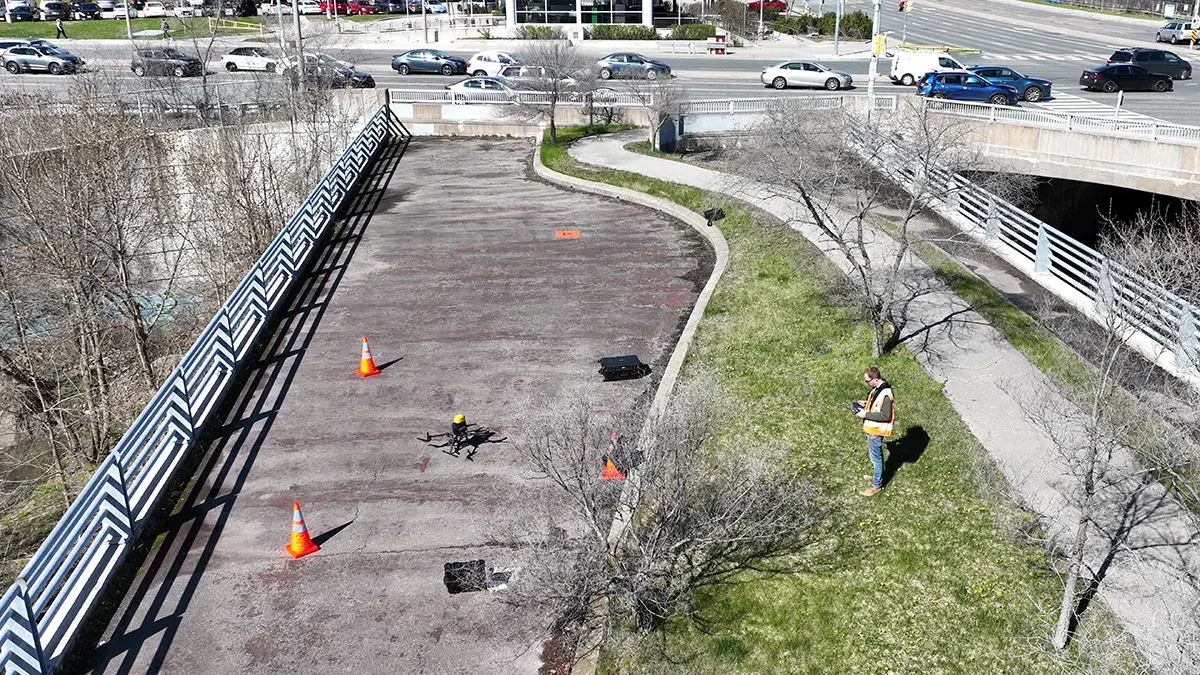
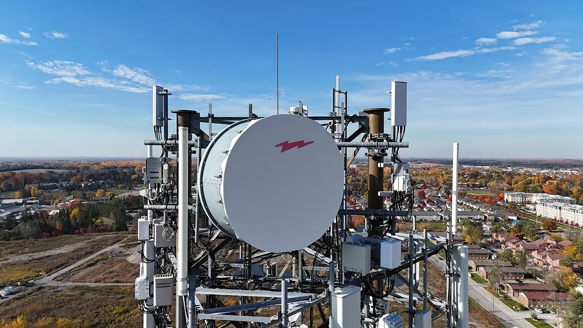
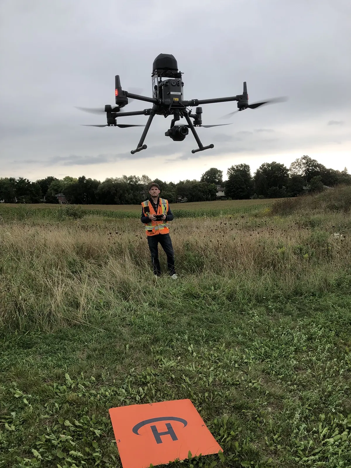
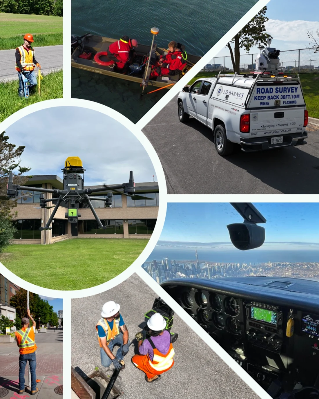
At J.D. Barnes Limited, we integrate advanced drone technology into our surveying operations to deliver high-resolution, survey-grade data with speed and precision. Our drone surveys are conducted by experienced field survey staff using RTK-GPS enabled UAVs, ensuring accurate results you can trust.
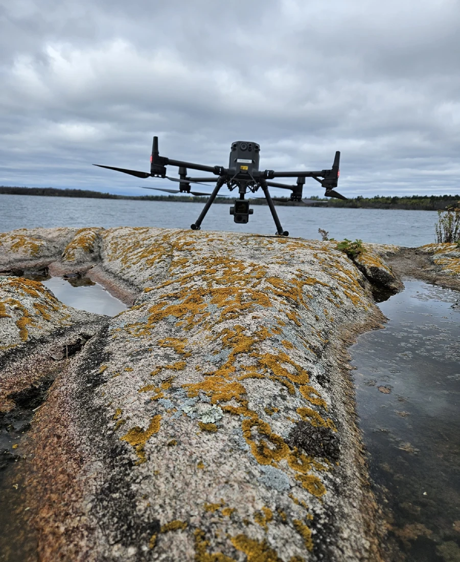
All units are Transport Canada certified and equipped with parachute recovery systems (PRS), allowing for safe operations—even in populated areas. With more than 20 Advanced-certified pilots across the company, we’re capable of mobilizing quickly and completing missions efficiently, often in a single visit.
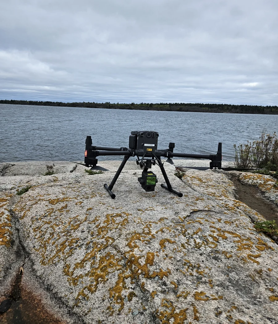
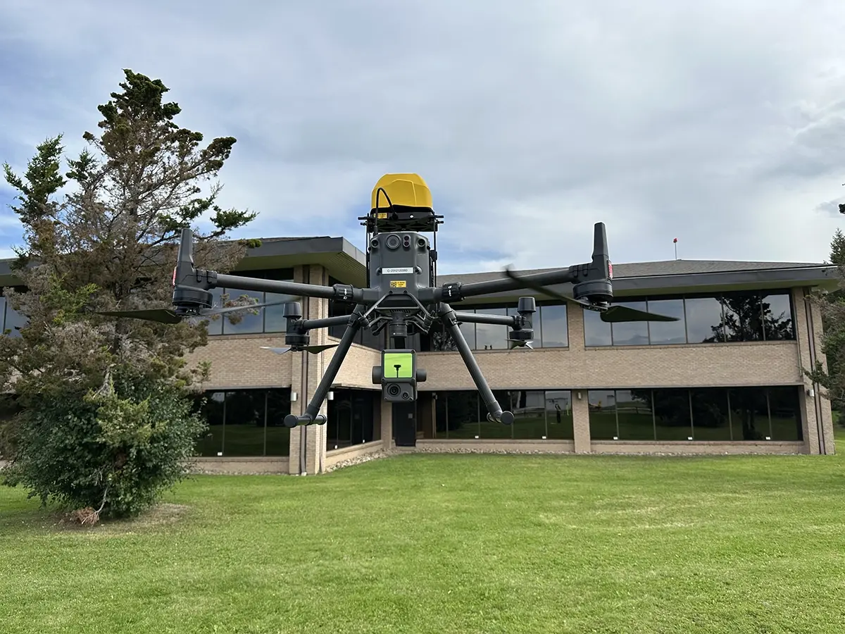
Dual Payload Capability
We utilize both Photogrammetry payloads and LiDAR payloads to match the needs of each project:
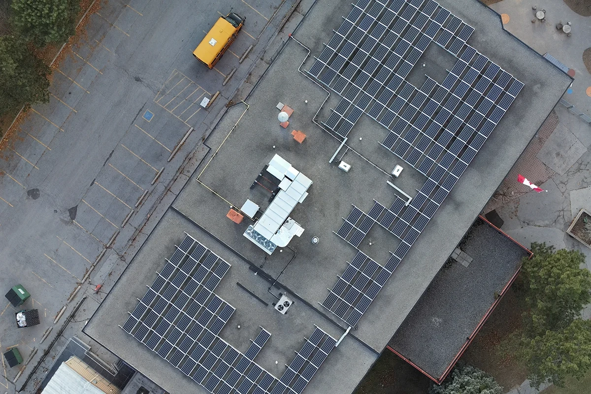
Photogrammetry Payloads(e.g., P1 Full-Frame Camera) deliver high-resolution imagery for generating detailed orthomosaics, 3D models, and digital surfaces.
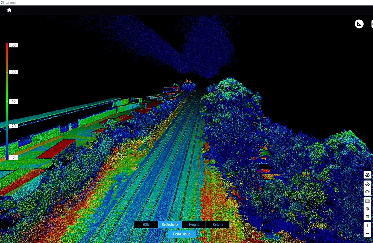
LiDAR Payloads(e.g., L2 LiDAR with 4/3” CMOS Camera) capture dense point cloud data ideal for penetrating vegetation and modeling complex surfaces with high accuracy.
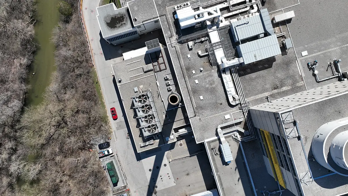
High-resolution, orthorectified imagery generated from overlapping aerial images—geometrically corrected and color-balanced for seamless integration into CAD and GIS platforms.
LiDAR & Point Clouds
Millions of precise 3D points with full attribute data (X-Y-Z-R-G-B-I), supporting detailed terrain modeling, feature extraction, and volumetric analysis.
Topographic Mapping
Digital Terrain Models (DTMs), contours, and vector data extracted from aerial sources to support land development, design, and engineering workflows.
Accuracy
±5–10 mm RMSE on visible hard surfaces (95% confidence)