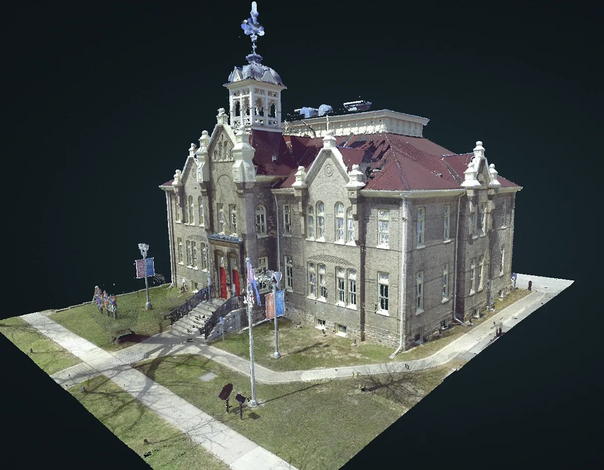
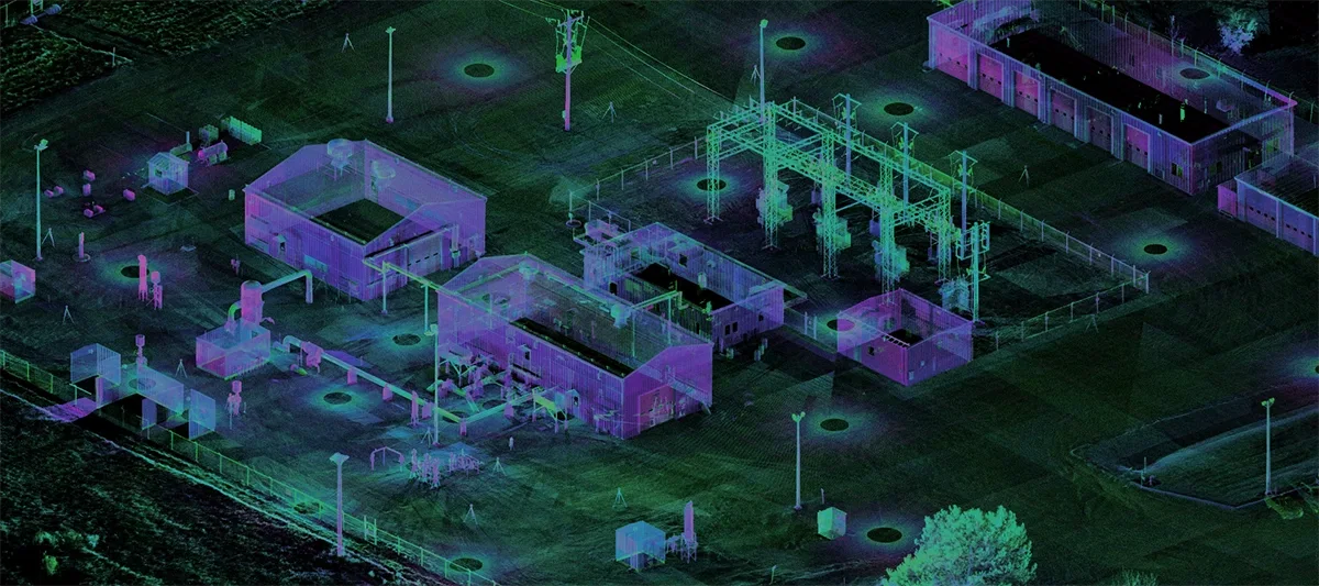
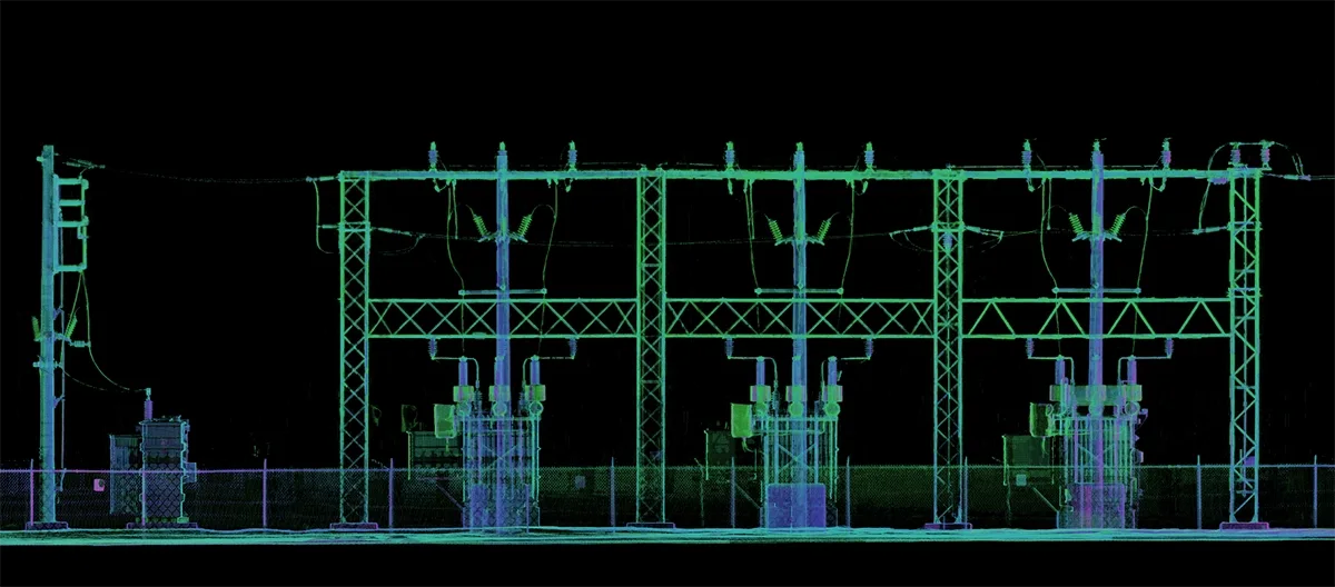
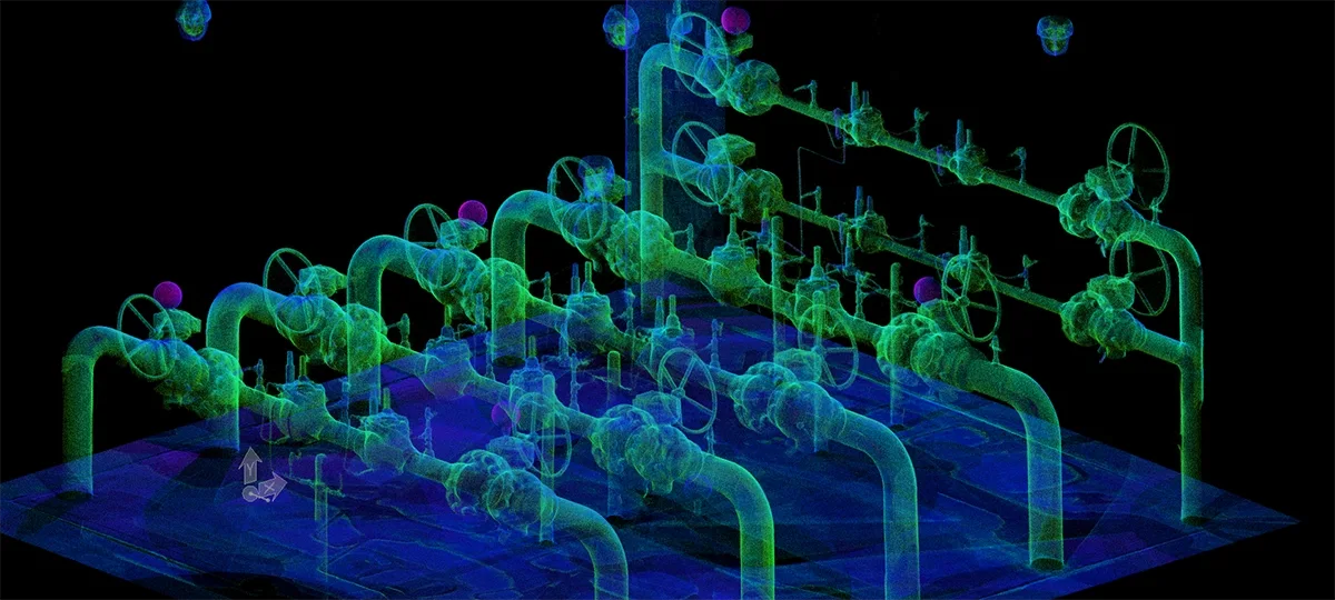
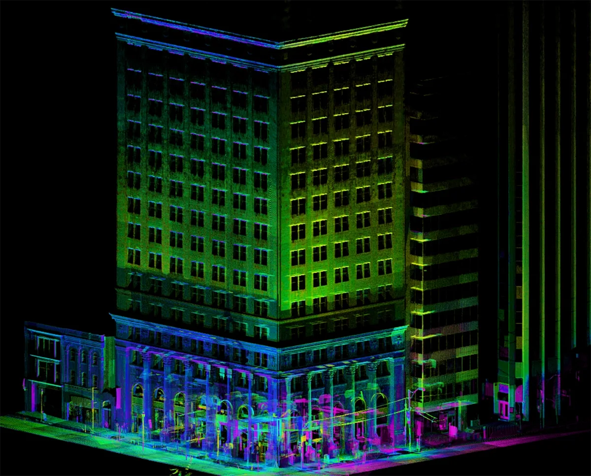
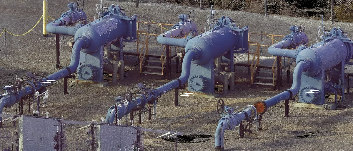
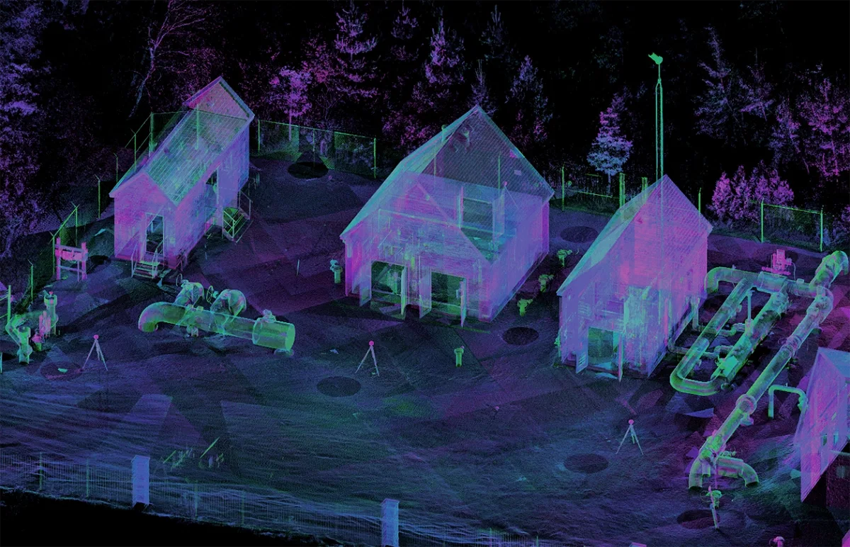
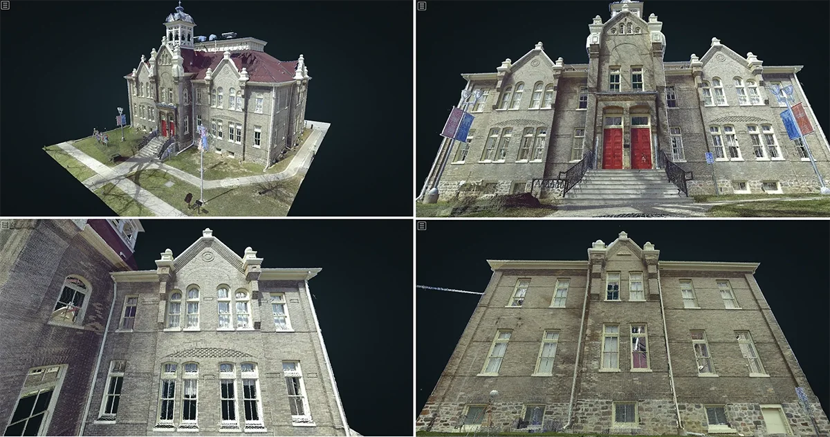
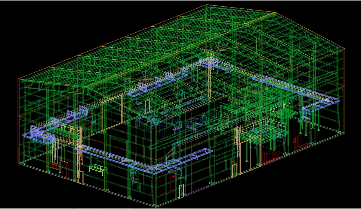
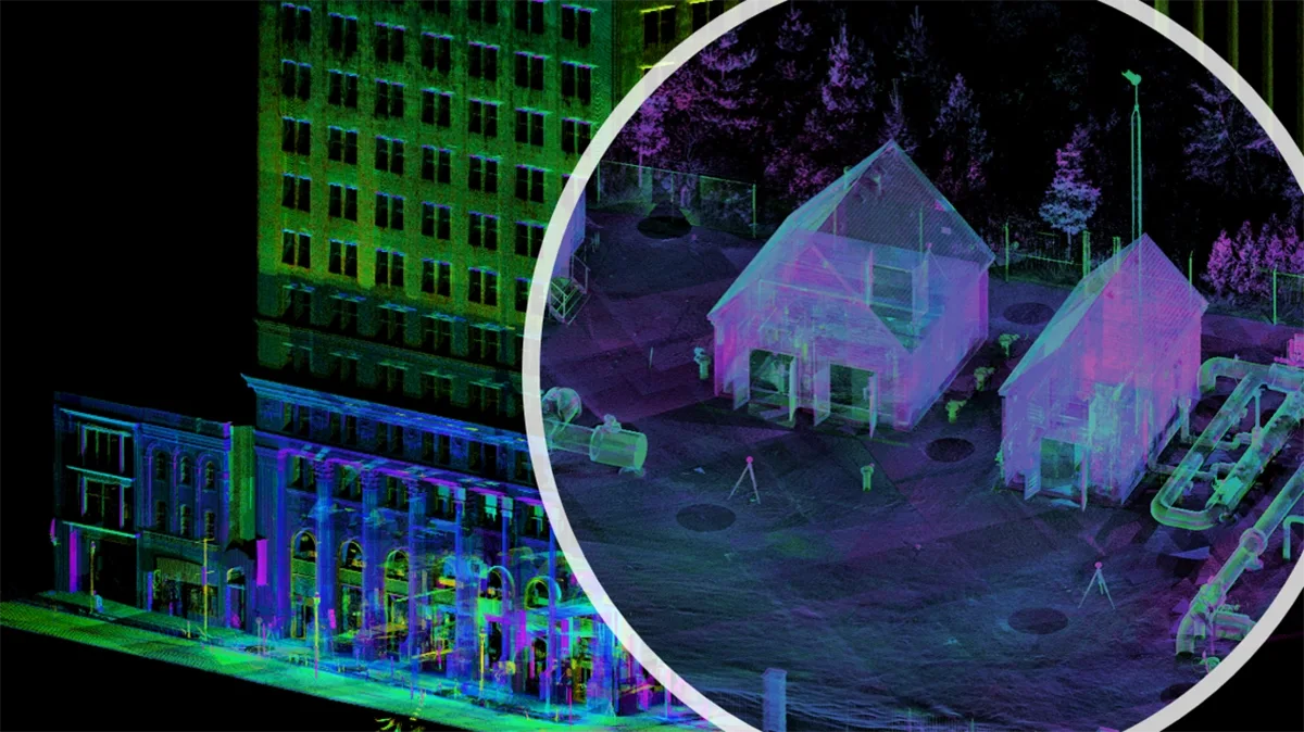
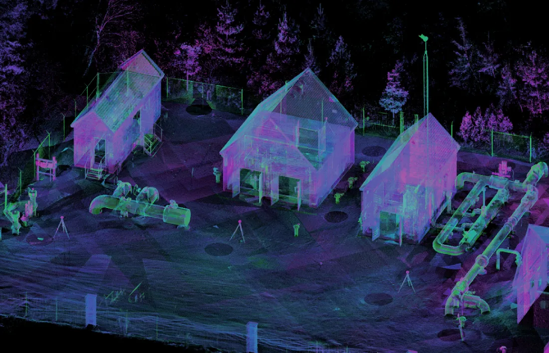
LiDAR is a powerful remote sensing technology, capable of capturing the surroundings in three dimensions at unparalleled data acquisition rates. The resulting information is commonly referred to as a “point cloud”, due to its high density and appearance.
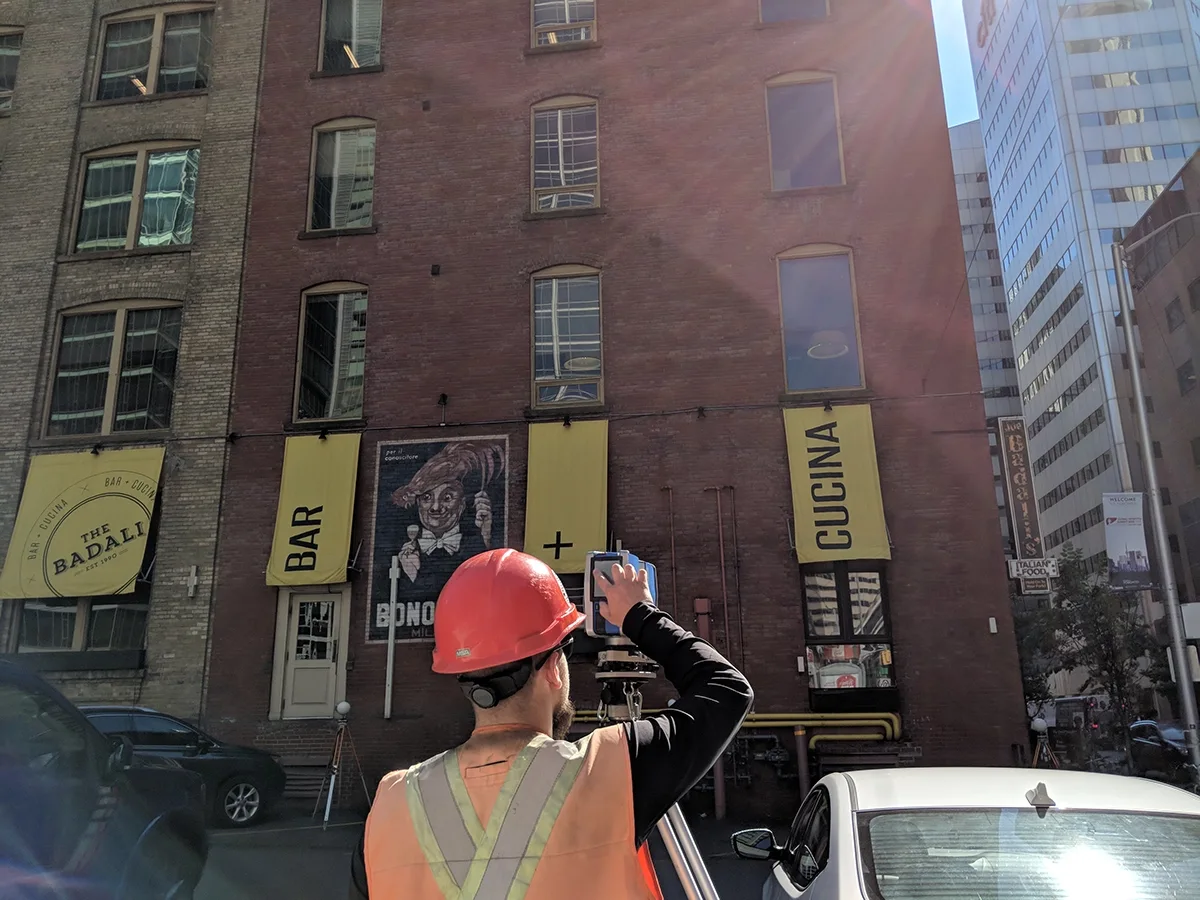
J.D. Barnes Limited offers a full complement of terrestrial LiDAR surveys and related services. Our involvement with LiDAR began in early 2012, with the purchase of our first terrestrial instrument. From the beginning, our vision has been to produce high quality, survey grade georeferenced point cloud data. To that end, we developed and implemented an extensive quality control program for all LiDAR projects. A significant investment has been made in state-of-the-art field instrumentation, computing resources, hardware/software and staff training to ensure timely and cost-effective project delivery. With hundreds of projects successfully completed to date, we have the knowledge and expertise to serve your terrestrial LiDAR needs. For more information, contact us today at lidar@jdbarnes.com