J.D. Barnes Limited offers a full suite of utility survey services to support engineering, construction, and maintenance projects across Canada. Our Utilities Survey division works closely with both corporate and public sector clients, providing reliable and high-accuracy data for informed decision-making at every stage.
Field surveys to support planning and detailed engineering design.
Utility Layout & As-Built Surveys
For accurate installation, verification, and record drawings.
Utility Layout Services
Precise staking and layout of new utility infrastructure.
Legal Surveys
Acquisition of land ownership information and the creation of easements.
ROW and Easement Definition
Establishing boundaries and access for utility corridors.
Integrity Surveys
Supporting maintenance programs and asset integrity initiatives.
GIS Data Management
Organizing spatial utility data for inventory and planning.
Bathymetric Surveys
River and water crossing surveys for pipeline design and maintenance.
Aerial Mapping
Used in preliminary route selection and profile generation.
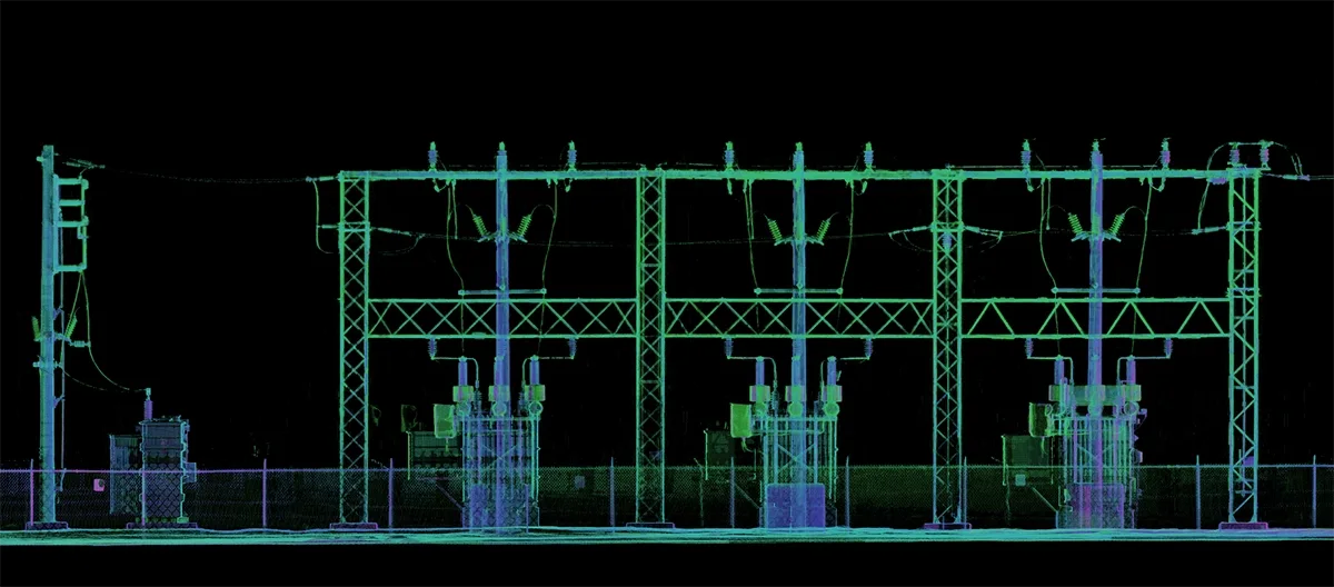
LiDAR Scanning
High-detail as-builts for complex infrastructure like valve or compressor stations.
Public Consultation Mapping
Preparation of map books, displays, and presentation materials.
Support for SUE Mapping
Integration of survey and utility locate data to assist with Subsurface Utility Engineering efforts.
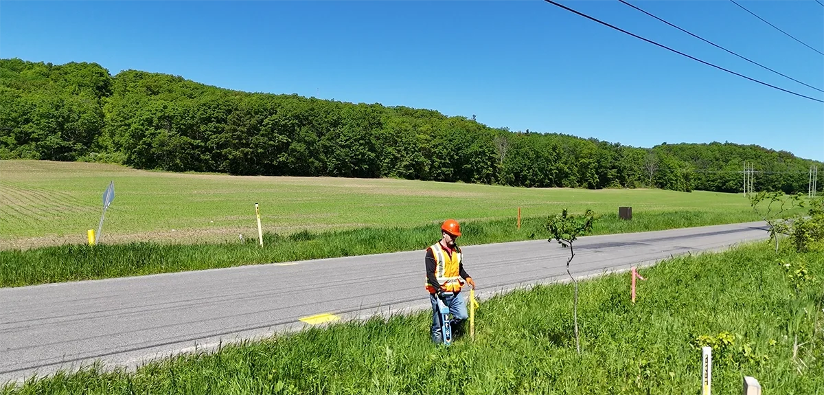
Our team works in coordination with our in-house Locates division to ensure utilities are documented with precision and care — respecting both project needs and the interests of private property owners.
Inspection Services
J.D. Barnes Limited offers specialized inspection services to support the ongoing maintenance and management of critical infrastructure. Our inspection team combines advanced technology with experienced field personnel to deliver detailed, actionable information in challenging environments.
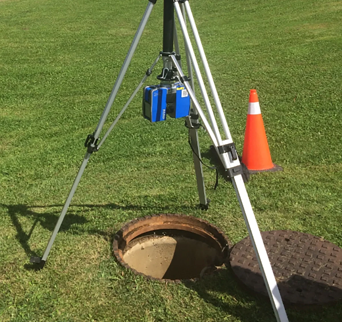
Confined Space Inspections– Safe and efficient entry and inspection of utility chambers, vaults, and access shafts, in compliance with all regulatory standards.
Chamber Scanning– High-resolution scanning of underground utility chambers and structures, capturing geometry and condition for engineering analysis and record documentation.
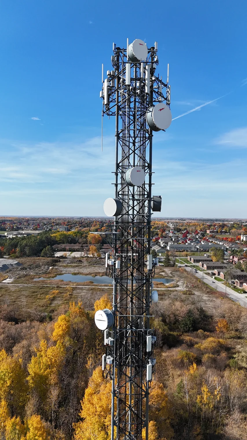
Drone Inspections – Use of UAVs (drones) to inspect above-ground structures, towers, bridges, and hard-to-reach areas. Ideal for minimizing risk and downtime while obtaining high-quality imagery and measurements.